Slice 3D 1.0.1
Slice 3D is the professional ArcGIS extension intended for making of information geological-geophysical model of a rock mass.For what this program?At the analysis of the data of study of a rock mass there are following problems:* How most simply ...
Last update
23 Jul. 2010
Licence
Free to try |
$200.00
OS Support
Windows
Downloads
Total: 387 | Last week: 2
Ranking
#615 in
Misc
Publisher
Gis Center
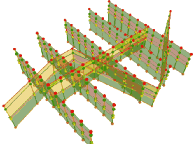
Screenshots of Slice 3D
Slice 3D Publisher's Description
Slice 3D is the professional ArcGIS extension intended for making of information geological-geophysical model of a rock mass.
For what this program?
At the analysis of the data of study of a rock mass there are following problems:
* How most simply to execute special graphic constructions, whenever possible not using other programs, except the ArcGIS?
* How to compare the numerical and descriptive data?
* How to receive the updated plan, a set of slices and 3d model on the uniform attributive data?
* How to carry out geologic constructions in one plane of a slice and to transfer them to another?
* How to find intersections of a slice surface with other objects?
* How to construct projections of objects to a surface of a slice?
* How to organize two-scale constructions?
To solve a considerable proportion of these problems the program module Slice3d is created. This is the tool for making of information geological-geophysical model of a rock mass.
Base profile (LT and full license)
It is intended for creating a base point class on the basis of which the subsequent calculations and constructions are carried out. As a result the class contains coordinates of basic and additional points with design marks of seams burial and distances from initial and final points of an initial line.
Input data
For successful operation of the extension following input data is necessary:
1. Profile line - a an arbitrary profile line: either graphics or feature.
2. Subbase's raster layers (TINs, grids or other raster format) or subbase's vector layer(polyline or polygon feature class, containing an elevation field). For multiband raster data an elevation values are gets from each band. In case of slice creation on a vector subbase, points of a slice creates on intersections of a profile line with a vector layer.
Possible arrangements of points along a profile line:
1. Amount of points
2. Interval between points in terms of measurement of the map
3. Generalization
4. 'As is' (initial nodes of a profile line).
Output data
Output feature class ("slice") is a MZ-point feature class, with following attributes:
- 'X','Y' - point's coordinates
- 'Dist', 'Dist_Rev' - a distance to the points from the beginning and from the end along a profile line.
- Values of a subbase's layers attributes (in case of vector subbase - all attributes of vector feature class)
Optionally, you can plot standard chart of the set of graphs and export feature class (attributes's table) to the MS Excel.
Slice element (full license only)
It is intended for creating a set of vector layers in LZ coordinates compounding base of the slice geodata. As a result the new set of layers including attributes of slices names is created. Form can be used for re-projection the data from one slice on another.
To 3D (full license only)
Creates 3d-layer from a layer constructed on a plane of a slice. It is intended for displaying layers of the data again created as a slice, from coordinates LZ to XY.
Look for Similar Items by Category
Feedback
- If you need help or have a question, contact us
- Would you like to update this product info?
- Is there any feedback you would like to provide? Click here
Popular Downloads
-
 Macromedia Flash 8
8.0
Macromedia Flash 8
8.0
-
 Kundli
4.5
Kundli
4.5
-
 My Talking Tom
1.0
My Talking Tom
1.0
- FastSum 1.9
-
 FastSum Standard Edition
1.6
FastSum Standard Edition
1.6
-
 Cool Edit Pro
2.1.3097.0
Cool Edit Pro
2.1.3097.0
-
 Cheat Engine
6.8.1
Cheat Engine
6.8.1
-
 Hill Climb Racing
1.0
Hill Climb Racing
1.0
-
 Windows XP Service Pack 3
Build...
Windows XP Service Pack 3
Build...
-
 C-Free
5.0
C-Free
5.0
-
 Tom VPN
2.2.8
Tom VPN
2.2.8
- HP LaserJet 1100 Printer Drivers 4.3.2.5
-
 Horizon
2.9.0.0
Horizon
2.9.0.0
-
 Iggle Pop
1.0
Iggle Pop
1.0
- HP WLAN 802.11a/b/g W500 2.4.1.30
-
 Mozilla Firefox
108.0...
Mozilla Firefox
108.0...
-
 FormatFactory
4.3
FormatFactory
4.3
- HP Deskjet 5400 Series (DOT4) 9.0.0.0
- HP LaserJet 4200 PS 60.3.14.2
-
 Vector on PC
1.0
Vector on PC
1.0